Fine Art Printery
Vintage Map of Great Britain - Britannia Anglo-Saxon Map by Joan Blaeu (1665)
Vintage Map of Great Britain - Britannia Anglo-Saxon Map by Joan Blaeu (1665)
Couldn't load pickup availability
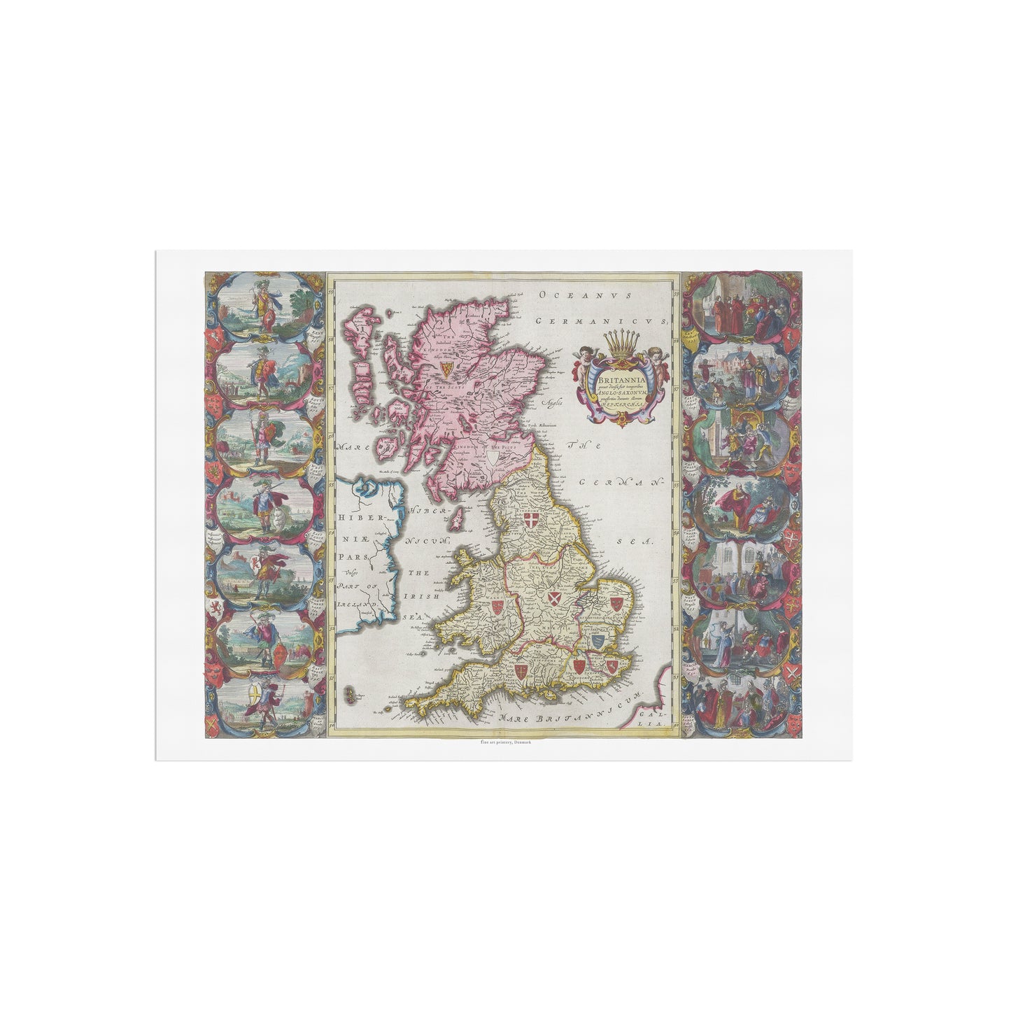
Step Back in Time with This Magnificent 17th-Century Map of Anglo-Saxon Britain
Adorn your walls with this extraordinary vintage map, a faithful reproduction of a masterpiece from the golden age of cartography. This print, created by the renowned Dutch cartographer Joan Blaeu in 1665, is part of his legendary Atlas Maior, an 11-volume set known for its stunning artistic quality and comprehensive detail.
Why This Poster is a Must-Have:
-
A Masterpiece of Art and History: This hand-colored, engraved map depicts Great Britain with its historical Anglo-Saxon divisions. The map is designed in the intricate Baroque style, with vibrant tones of pink, yellow, and blue used to delineate the various regions.
-
Rich with Historical and Artistic Detail: Look closely and you'll find a decorative title cartouche, adorned with classical motifs and a coat of arms. The map is also surrounded by ornamental side panels that feature heraldic shields of Anglo-Saxon kingdoms like Mercia and Wessex, along with other historical scenes and figures. It's a true blend of cartography, art, and history.
-
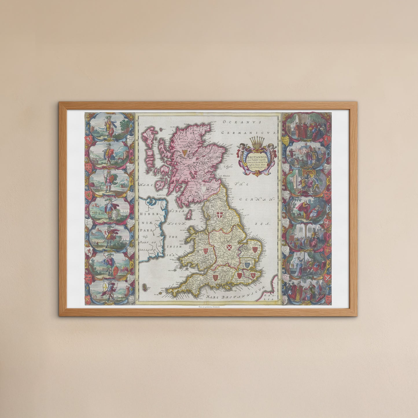
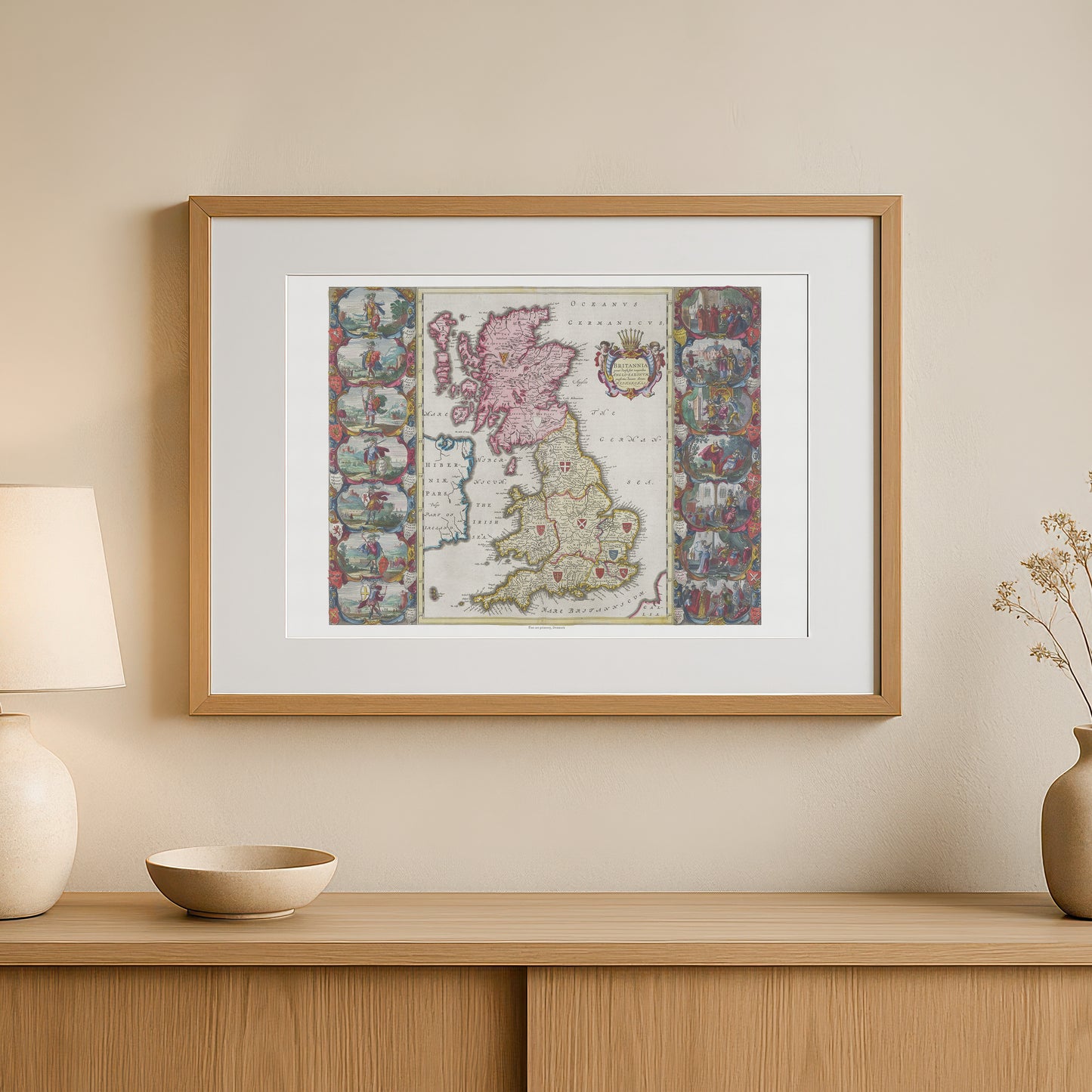
A Unique Statement Piece for Any Room: The map's classic style and rich historical context make it a sophisticated focal point. It’s perfect for a study, library, office, or as a timeless piece of decor in a living room.
-
A Unique and Thoughtful Gift: This poster is a perfect gift for history buffs, cartography collectors, or anyone with British heritage who appreciates the beautiful and enduring fusion of art and science.
Please note: This listing is for the poster only (frame not included).
Share