Fine Art Printery
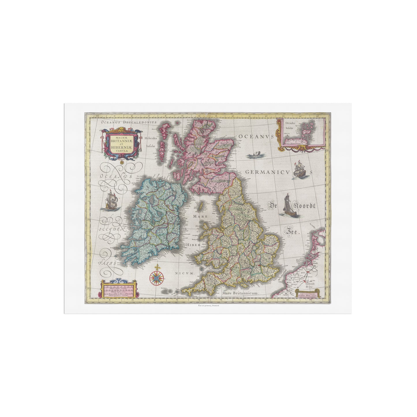
Vintage British Isles Map - Magnae Britanniae et Hiberniae Tabula by Joan Blaeu (1665)
Vintage British Isles Map - Magnae Britanniae et Hiberniae Tabula by Joan Blaeu (1665)
Couldn't load pickup availability
Discover the Historic Beauty of the British Isles with This Classic 17th-Century Map
Adorn your walls with this magnificent vintage map, a faithful reproduction of a masterpiece from the golden age of cartography. This print, from the original work by the legendary Dutch mapmaker Joan Blaeu, was featured in his monumental Atlas Maior in 1665.
Why This Poster is a Must-Have:
-
A Masterpiece of Cartographic Art: This map is more than a geographical outline; it's a stunning piece of art and a detailed historical document. The hand-colored print showcases Great Britain and Ireland with remarkable detail. It is filled with enchanting details, including sailing ships and fascinating sea monsters, capturing the spirit of exploration of the era.
-
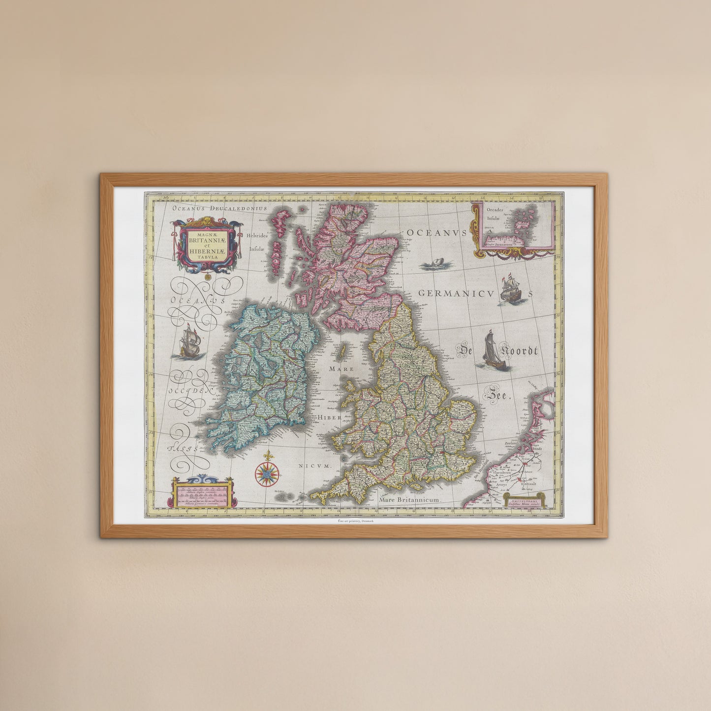
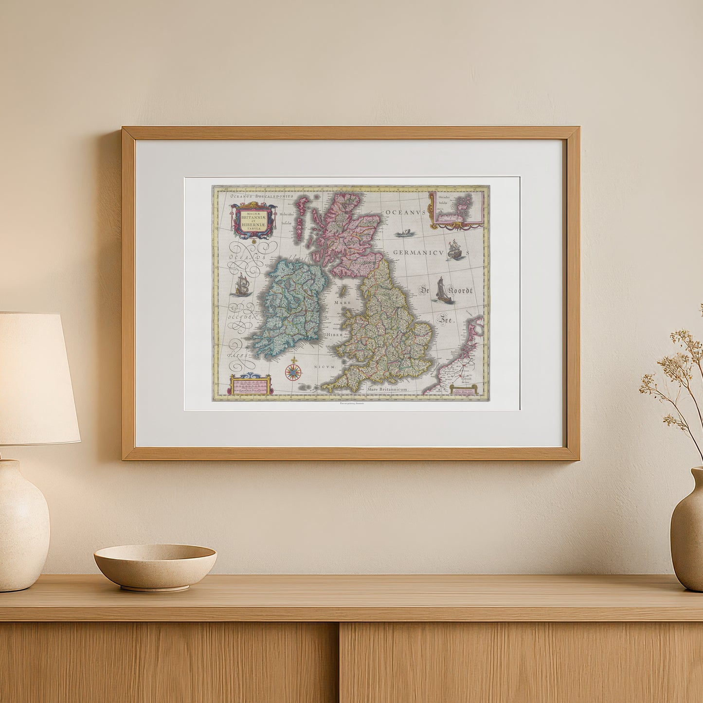
A Symbol of History and Heritage: The map’s classic style and rich detail make it a timeless statement piece for any room.
-
For Those with British or Irish Heritage: A beautiful way to celebrate a connection to the history and geography of the British Isles.
-
For the Office or Study: It adds a touch of intellectual curiosity and historical gravitas, perfect for a sophisticated space.
-
For a Living Area or Library: Its rich colors and intricate details make it a striking focal point that complements both traditional and modern decor.
-
-
A Unique and Thoughtful Gift: This poster is a perfect gift for history buffs, cartography collectors, travel lovers, or anyone who appreciates the beautiful and enduring fusion of art and science.
Please note: This listing is for the poster only (frame not included).
Share